File:Holy Roman Empire 1648 fr.svg

| Uploaded by | Rhadamante |
|---|---|
| Upload date | 2011-07-20T03:46:04Z |
| MIME type | image/svg+xml |
| Dimensions | 2283 × 1810 px |
| File size | 4.2 MB |
Summary
| Description |
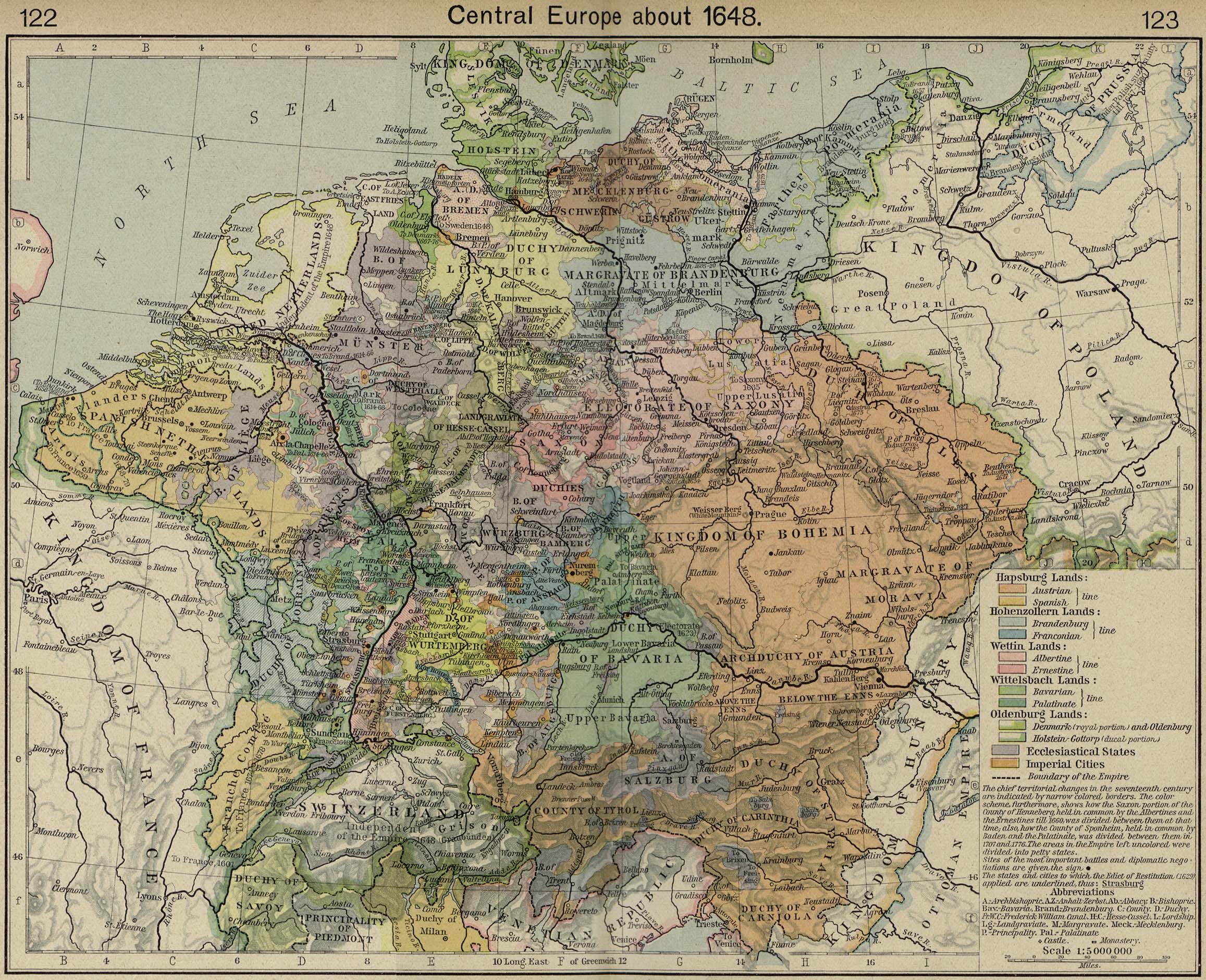
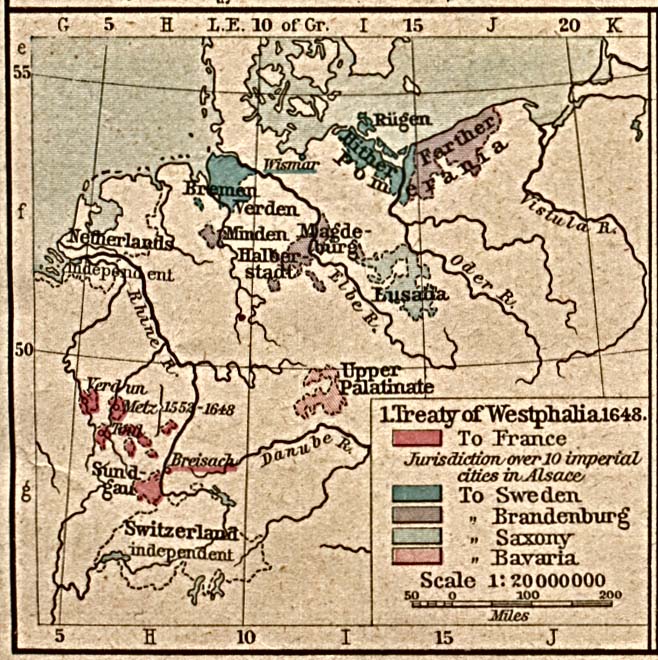
English: Map of the Holy Roman Empire in 1648, after the Peace of Westphalia which ended the Thirty Years' War. French version of Holy Roman Empire 1648.svg.
Français : Carte du Saint-Empire Romain Germanique en 1648, après les Traités de Westphalie qui mettent fin à la Guerre de Trente Ans.
Territoires ecclésiastiques
Suédois après 1648
|
||||||||
| Date | 06/08/2008 | ||||||||
| Source |
Made from the public domain map "Central Europe about 1648" from the Historical Atlas by William R. Shepherd, at the Perry-Castañeda Library Map Collection at the University of Texas. Further information from Overy, Richard, 2006, The Times Complete history of the world Times Books ISBN 0007181299, and from this map See also other maps at external links: |
||||||||
| Author | Astrokey44 & Tinodela | ||||||||
| Permission (Reusing this file) |
|
||||||||
| Other versions | png version, blank version |