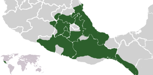
File:Aztec Empire ME (orthographic projection).svg
Summary
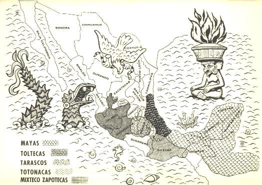
| Description |
English: Aztec Empire with Aztec dominance between Teozapotlan and Xoconochco. |
| Date | |
| Source |
|
| Author |
|
| Other versions |
|
| SVG development |


.svg)
1.gif)
#Aztec%20Empire%20ME%20(orthographic%20projection).svg)
Licensing
I, the copyright holder of this work, hereby publish it under the following licenses:
This file is licensed under the Creative Commons Attribution-Share Alike 3.0 Unported license.
- You are free:
- to share – to copy, distribute and transmit the work
- to remix – to adapt the work
- Under the following conditions:
- attribution – You must give appropriate credit, provide a link to the license, and indicate if changes were made. You may do so in any reasonable manner, but not in any way that suggests the licensor endorses you or your use.
- share alike – If you remix, transform, or build upon the material, you must distribute your contributions under the same or compatible license as the original.
.svg)
 |
Permission is granted to copy, distribute and/or modify this document under the terms of the GNU Free Documentation License, Version 1.2 or any later version published by the Free Software Foundation; with no Invariant Sections, no Front-Cover Texts, and no Back-Cover Texts. A copy of the license is included in the section entitled GNU Free Documentation License. |
.svg)
.svg)
You may select the license of your choice.
Category:CC-BY-SA-3.0
Category:GFDL
Category:License migration redundant
Category:Maps of the Aztecs
Category:SVG locator maps of former countries of North America (gray and green globe scheme)
Category:SVG maps with orthographic projection
Category:Self-published work
Category:Valid SVG created with Inkscape:World maps (gggs)