File:Europe in 526 (Shepherd).jpg
Summary
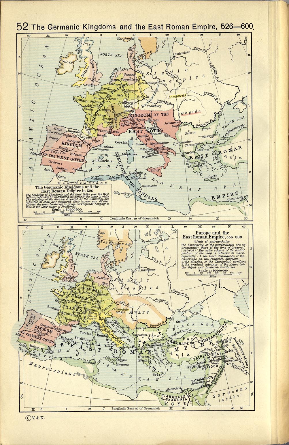
| Description | The political situation in Europe in the 6th century |
| Date | |
| Source | File:Europe 526-600.jpg: The Historical Atlas by William R. Shepherd, 1923. Downloaded from at |
| Author | William R. Shepherd (died 1934) |
Licensing
|
This work is in the public domain in its country of origin and other countries and areas where the copyright term is the author's life plus 70 years or fewer. Category:PD-old missing SDC copyright status | |
| This file has been identified as being free of known restrictions under copyright law, including all related and neighboring rights. | |
Category:CC-PD-MarkCategory:PD OldCategory:PD-old missing SDC copyright status Category:Maps of the Merovingian territory Category:Maps of Europe in the 6th century#Shepherd,%20Europe Category:Old maps of the Suebi
_en.png)
.png)
.jpg)