File:Europe 1914 Shepherd.jpg
Summary
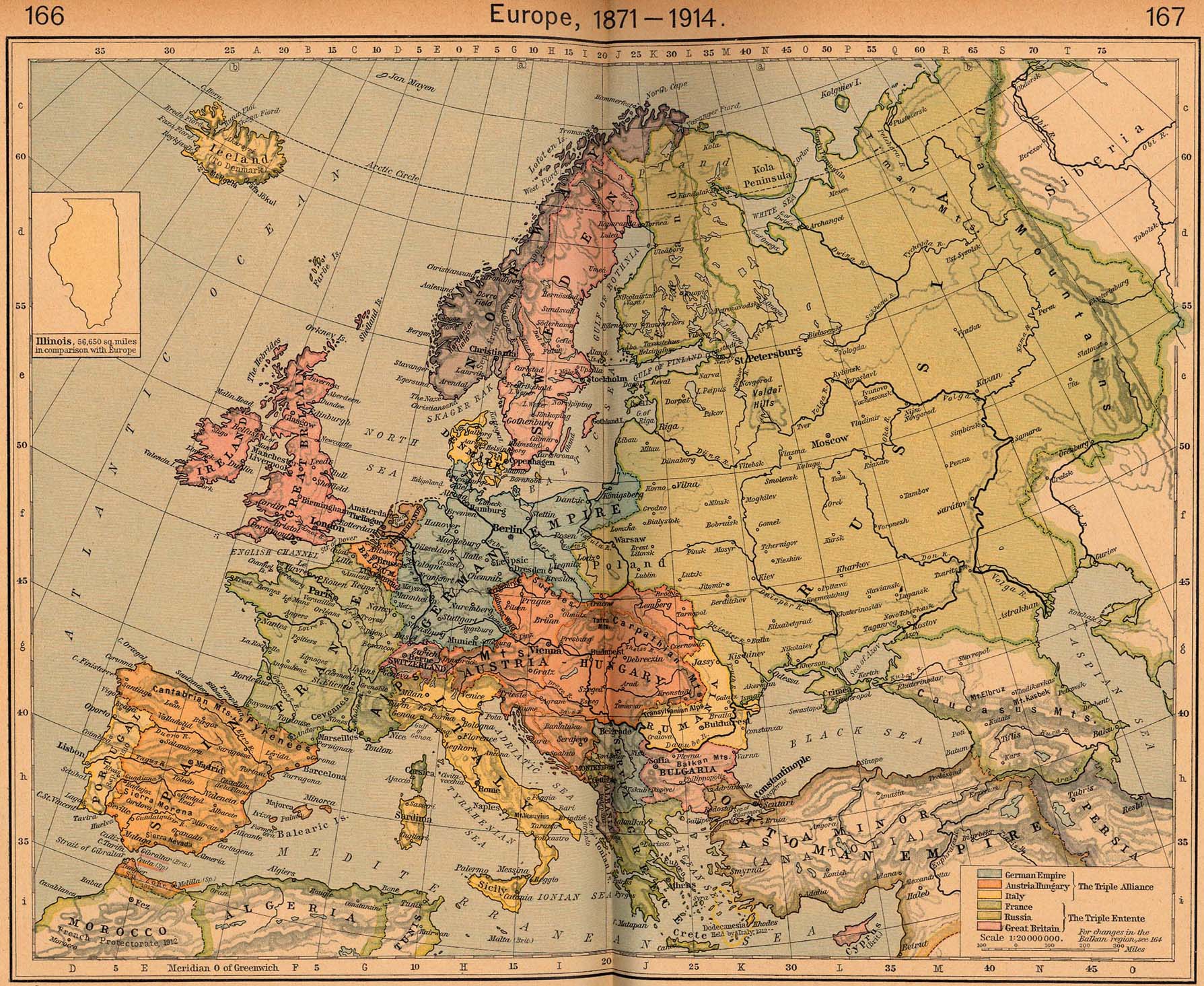
| Description |
English: Map of Europe in 1914 |
|||||||||||||||||||||||
| Date | ||||||||||||||||||||||||
| Source | http://www.lib.utexas.edu/maps/historical/shepherd/europe_1871_1914.jpg | |||||||||||||||||||||||
| Author |
|
|||||||||||||||||||||||
.png)
This is from the 1926 edition of the "Historical Atlas" by William R. Shepherd published by the Henry Holt and Company, New York. It may have been first published earlier in previous editions. The image is from the University of Texas Perry-Castañeda Library Map Collection.
Licensing
|
This work is in the public domain in its country of origin and other countries and areas where the copyright term is the author's life plus 70 years or fewer. | |
| This file has been identified as being free of known restrictions under copyright law, including all related and neighboring rights. | |
Category:CC-PD-MarkCategory:PD Old Category:1914 maps of Europe Category:Maps showing history by William R. Shepherd Category:William R. Shepherd Category:Retouched images by User:1Veertje
_en.png)
.png)
.jpg)