File:Assam locator map.svg

| Uploaded by | Planemad |
|---|---|
| Upload date | 2007-04-16T18:53:02Z |
| MIME type | image/svg+xml |
| Dimensions | 2393 × 1956 px |
| File size | 263.6 KB |
| Title |
Assam locator Map |
||
| Description |
Map of w:Assam with road and rail lines. Coordinates: top=29.49, bottom=23.74, left=89.61, right=97.52. অসমীয়া: ৰেলপথ, যাত্ৰাপথ সমন্বিতে অসমৰ মানচিত্ৰ, স্থানাংক: ওপৰ=২৯.৪৯, তল=২৩.৭৪, বাও=৮৯.৬১, সো=৯৭.৫২। |
||
| Date | |||
| Source |
Own work |
||
| Creator |
|
||
| Permission (Reusing this file) |
I, the copyright holder of this work, hereby publish it under the following license:    This file is licensed under the Creative Commons Attribution-Share Alike 3.0 Unported license.
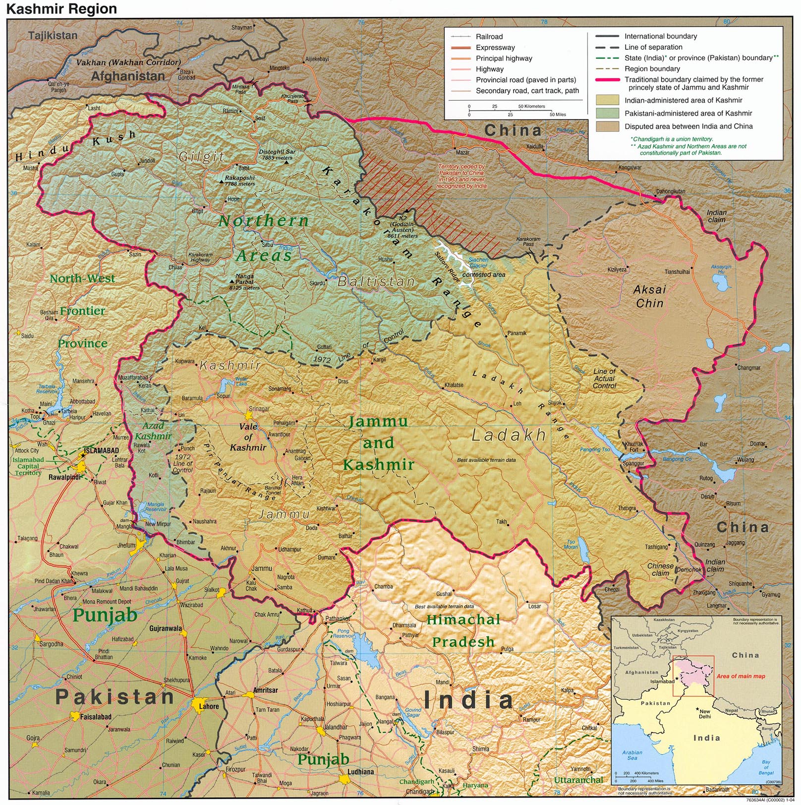
 The frontiers depicted on the Indian maps in Wikipedia are from a neutral point of view and may differ from official government maps of India, Pakistan and China. Please consult local laws governing publication of maps before usage. The frontiers depicted on the Indian maps in Wikipedia are from a neutral point of view and may differ from official government maps of India, Pakistan and China. Please consult local laws governing publication of maps before usage. |
||
| Geotemporal data | |||
| Date depicted | second half of 20th century and 21st century | ||
| Georeferencing | If inappropriate please set warp_status = skip to hide. | ||
| Archival data | |||
| Notes | Part of WikiProject India Maps | ||