File:Austrasia Frisia and Saxony 481-814.jpg
Summary
| Description |
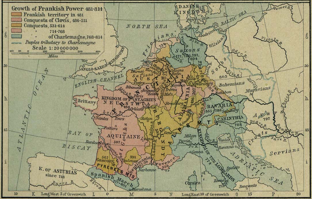
English: Regions of Austrasia, Frisia and Saxony within the Frankish empire 481-814 CE) |
| Date | |
| Source |
Perry-Castañeda Library Map Collection |
| Author | Creator:William R. Shepherd, Historical Atlas, 1926 edition, page 53 |
| Other versions | Category:Extracted imagesDerivative works of this file: Growth of Frankish Power, 481-814 Edit.jpegCategory:Files with derivative versions |


Licensing
This file is in the public domain because it is a mere mechanical scan or photocopy of a public domain original, or – from the available evidence – is so similar to such a scan or photocopy that no copyright protection can be expected to arise. The original itself is in the public domain for the following reason:
This tag is designed for use where there may be a need to assert that any enhancements (eg brightness, contrast, colour-matching, sharpening) are in themselves insufficiently creative to generate a new copyright. It can be used where it is unknown whether any enhancements have been made, as well as when the enhancements are clear but insufficient. For known raw unenhanced scans you can use an appropriate {{PD-old}} tag instead. For usage, see Commons:When to use the PD-scan tag.  | ||||



Category:Author died more than 70 years ago public domain images
Category:CC-PD-Mark
Category:Extracted images
Category:Files with derivative versions
Category:Historical Atlas by William R. Shepherd
Category:Maps of Austrasia
Category:Maps of Belgium in the 7th century
Category:Maps of Belgium in the 8th century
Category:Maps of Belgium in the 9th century
Category:Maps of Luxembourg in the 7th century
Category:Maps of Luxembourg in the 8th century
Category:Maps of Luxembourg in the 9th century
Category:Maps of the Merovingian territory
Category:Maps of the Netherlands in the 7th century
Category:Maps of the Netherlands in the 8th century
Category:Maps of the Netherlands in the 9th century
Category:Old maps of the Merovingian territory
Category:PD-old missing SDC copyright status
Category:PD-scan (PD-old-70)