File:WholeRegionSevres.gif
Summary
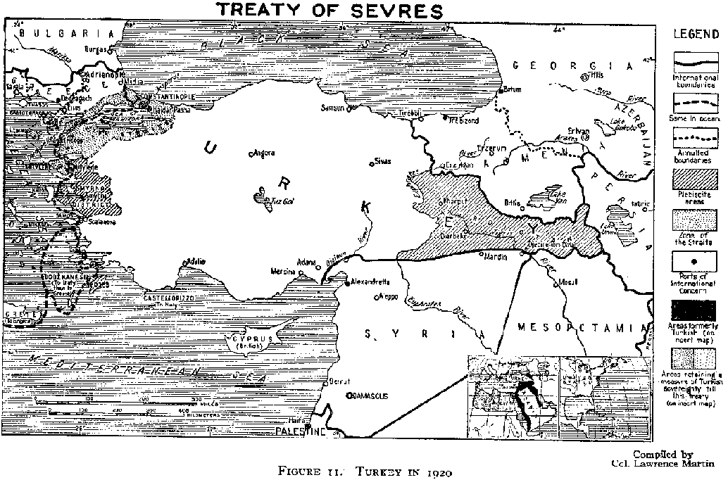
| Description |
English: An original map from 1920 illustrating the Treaty of Sevres region. |
| Date | |
| Source | http://www.gwpda.org/gifs/turk1920.gif |
| Author | Lt. Colonel Lawrence Martin. Geographer of the Institute of Politics at Williamstown, MA, 1921-27 |
Licensing
This media file is in the public domain in the United States. This applies to U.S. works where the copyright has expired, often because its first publication occurred prior to January 1, 1930, and if not then due to lack of notice or renewal. See this page for further explanation.
|
 | |
 |